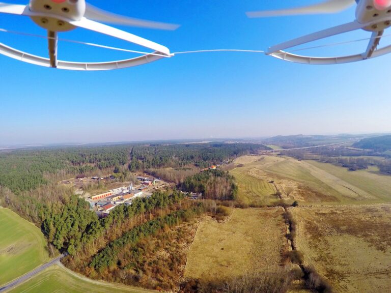
Drone Flying Made Easy
Exterior Photos
By offering clients a unique aerial perspective of properties, drones help clients make more informed decisions and create memorable experiences that drive engagement and interest in property listings.
Roof and Siding
Drones offer a safe, efficient, and effective solution for roof and siding inspections, helping property owners and professionals make informed decisions about maintenance, repairs, and replacements.
Thermal
Thermal drones offer a versatile and efficient way to capture thermal data from the air, enabling a wide range of applications across industries such as public safety, infrastructure inspection, environmental monitoring, and agriculture.
LiDAR
LiDAR scans are a powerful tool for capturing detailed 3D information about the environment, with applications ranging from urban planning and infrastructure management to environmental monitoring and disaster response.
Photogrammetry
Photogrammetry is a technique used to extract measurements and three-dimensional data from two-dimensional images. In the context of drone inspections, photogrammetry plays a crucial role in creating detailed 3D models of structures, including building facades like siding.
BUILDING
Drones play a vital role in the construction industry by providing valuable aerial data and insights that enhance project efficiency, safety, and quality. From site surveying and progress monitoring to safety inspections and asset management, building drones offer a versatile and cost-effective solution for a wide range of construction-related tasks.
POINT CLOUD
A point cloud is a set of data points in a three-dimensional coordinate system. Each point represents a specific position in space and is defined by its x, y, and z coordinates. Point clouds are often generated using various technologies such as LiDAR (Light Detection and Ranging), photogrammetry, or laser scanning.
LAND
using drones for mapping or LiDAR enables the efficient collection of high-resolution aerial data for creating detailed maps, 3D models, and topographic surveys. These technologies offer numerous applications across various industries, providing valuable spatial information for decision-making, analysis, and visualization.
Get In Touch With Us
You can reach out to us by hitting to button below and provide contact information for us to connect with you. We look forward to the opportunity to discuss how we can work together as a team.

